Field research / from October 2025
After the spray.
A UAV application lasts minutes. Following what happens afterward means collecting across several surfaces and refusing to treat one reading as the whole story.
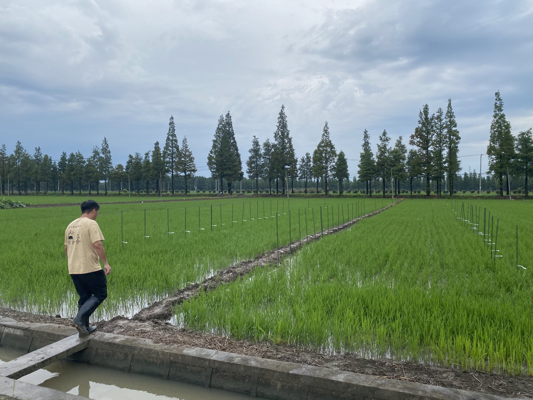
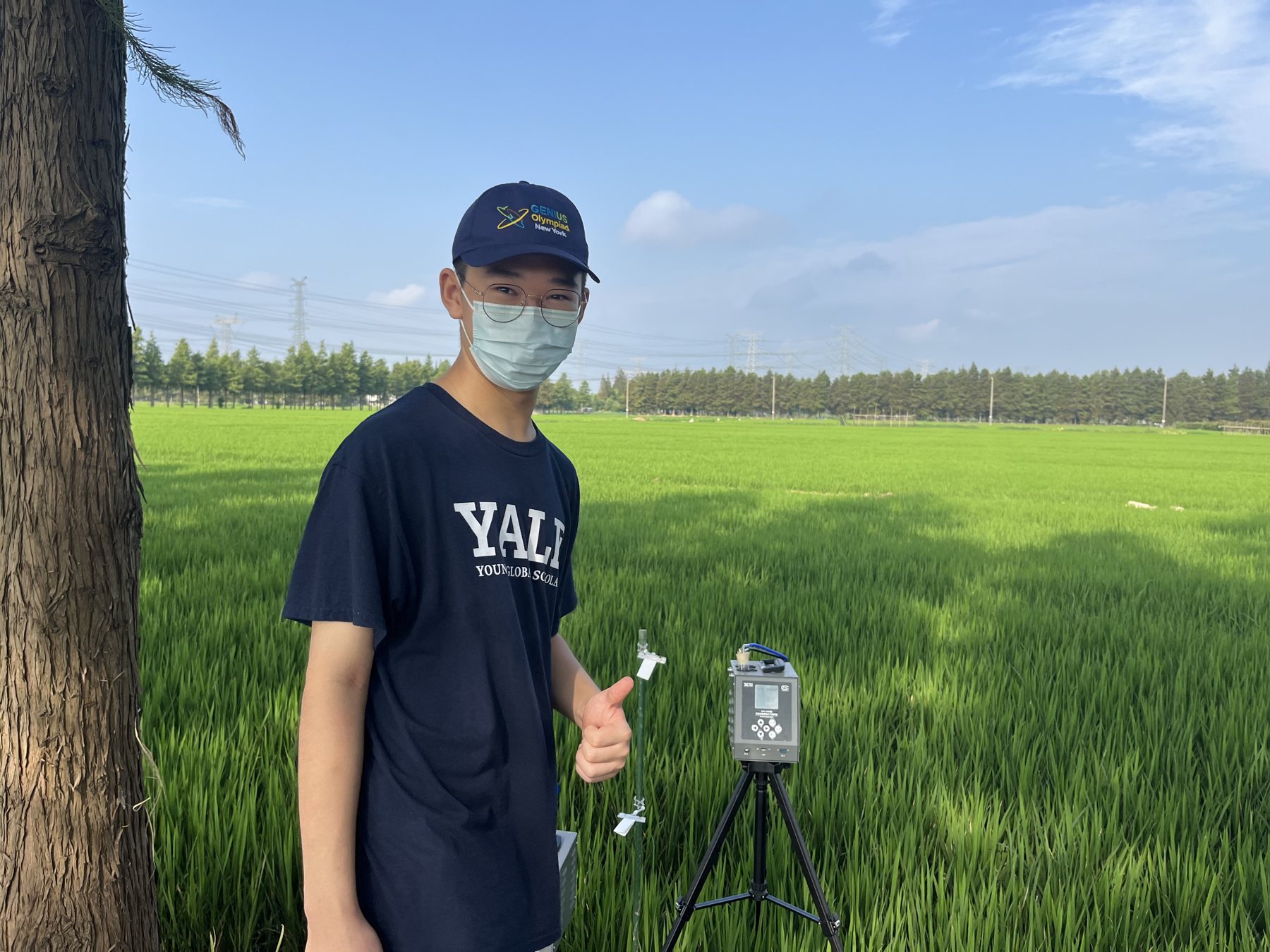
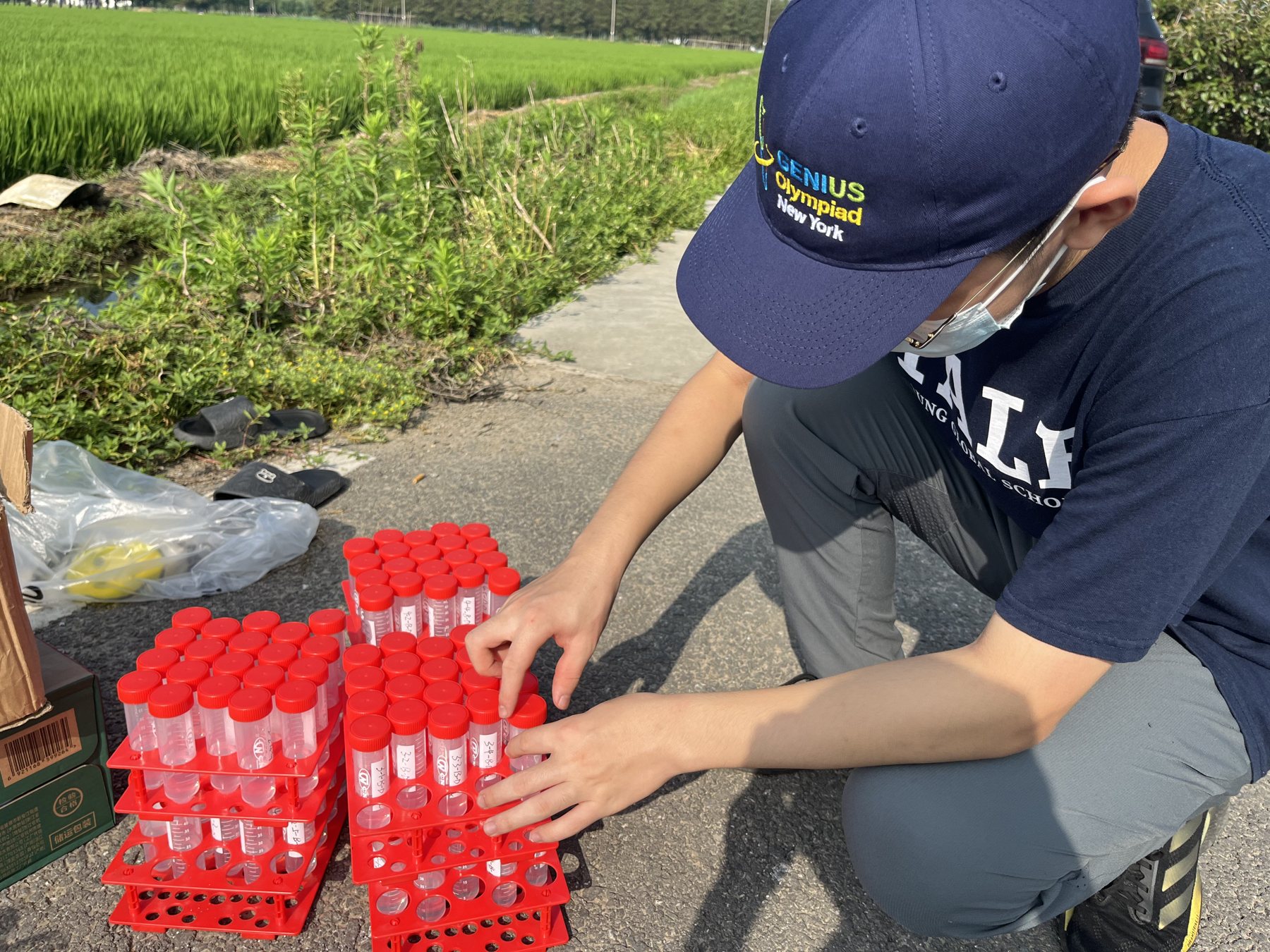
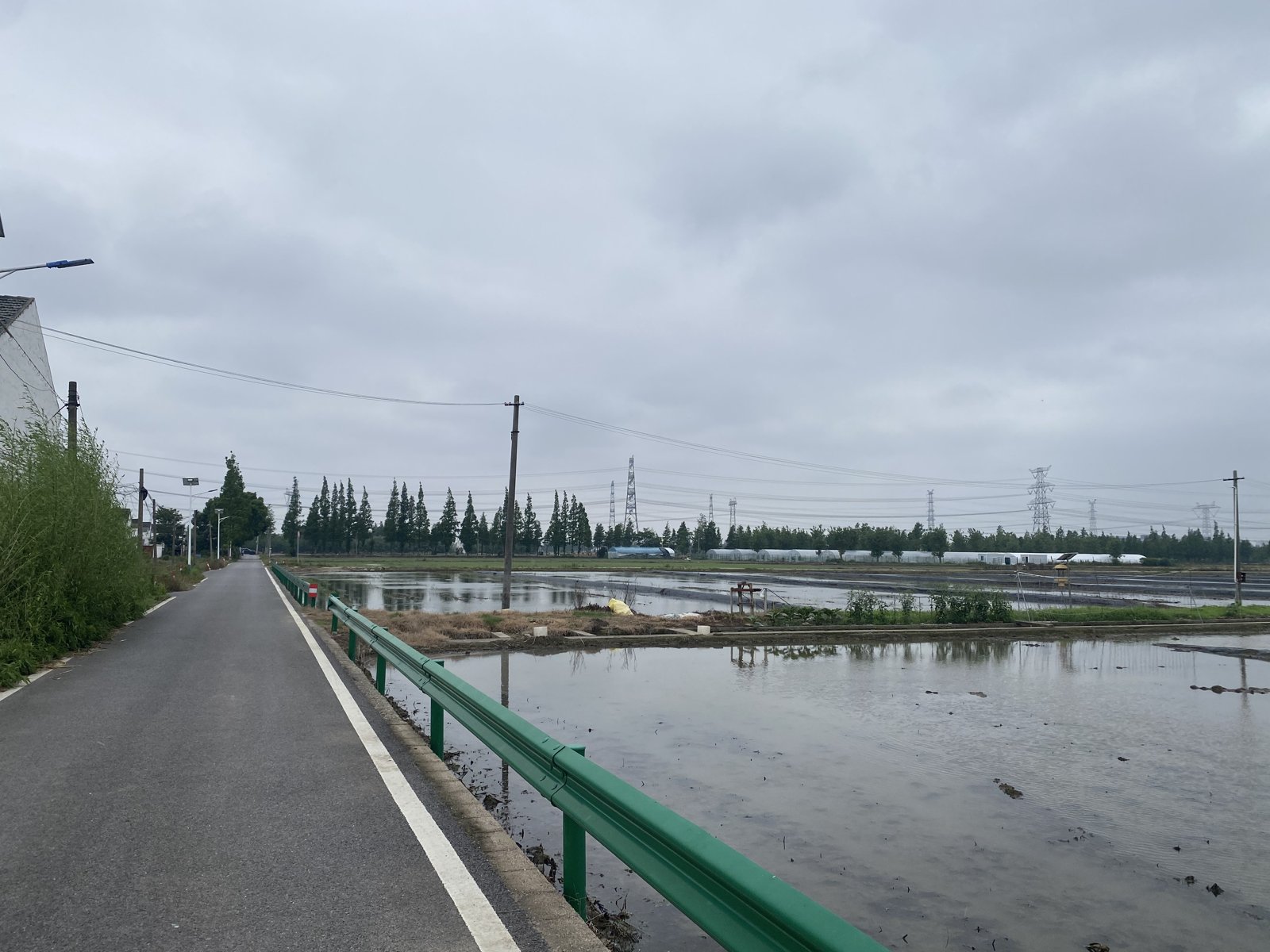
I joined UAV spray trials, collected TSP, crop, soil, and plastic-mulch samples, extracted residues, and compared how fungicides distributed and dissipated across those matrices.
Laboratory analysis is precise, but it takes time and resources. That limitation did not make me want a shortcut. It made me want a second layer of repeated, mobile sensing that could show where slower analysis was most needed.
I also spoke with drone operators about the practical side of pesticide application: access to drones, charging, and how the equipment fits into their work.
Sampling map
One application, four places to look.
This is the sampling plan, not a graph of results.
- 01
Air
What moved beyond the spray path
- 02
Crop
What remained on leaf surfaces
- 03
Soil
What reached the ground below
- 04
Mulch
What collected on an easy-to-miss surface
A sampling round
The labels mattered as much as the instruments.
I checked the monitor position, prepared labeled vials, and moved between the marked plots as samples were collected. The routine repeated for a reason: every vial had to stay connected to a time, location, and surface.
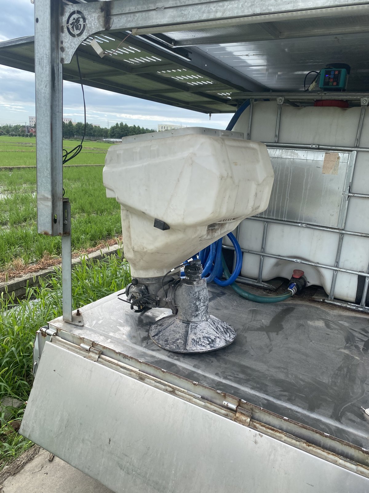
I also examined the drone's fertilizer spray bay to understand the application hardware. It was useful context, but it was not the sampler used for our measurements.

The next build
Collecting data while moving.
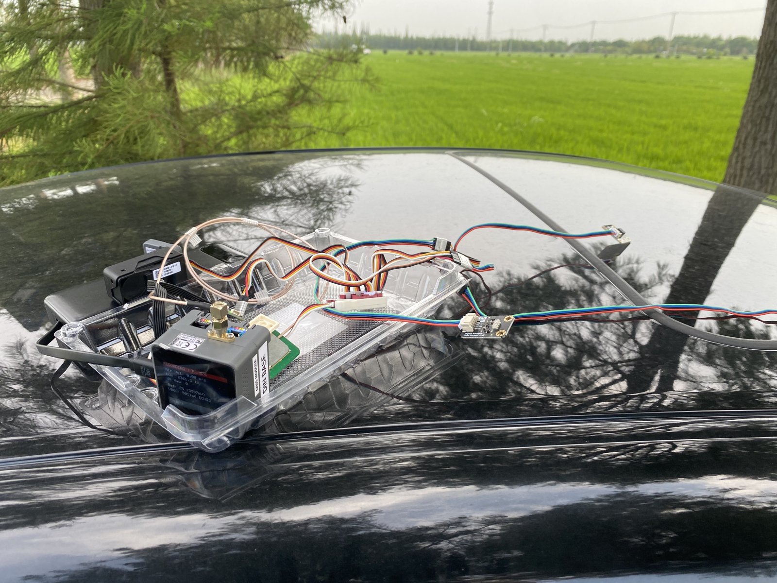
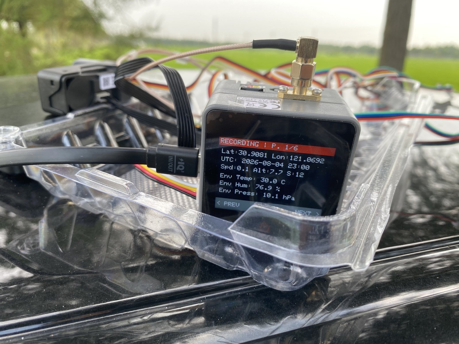
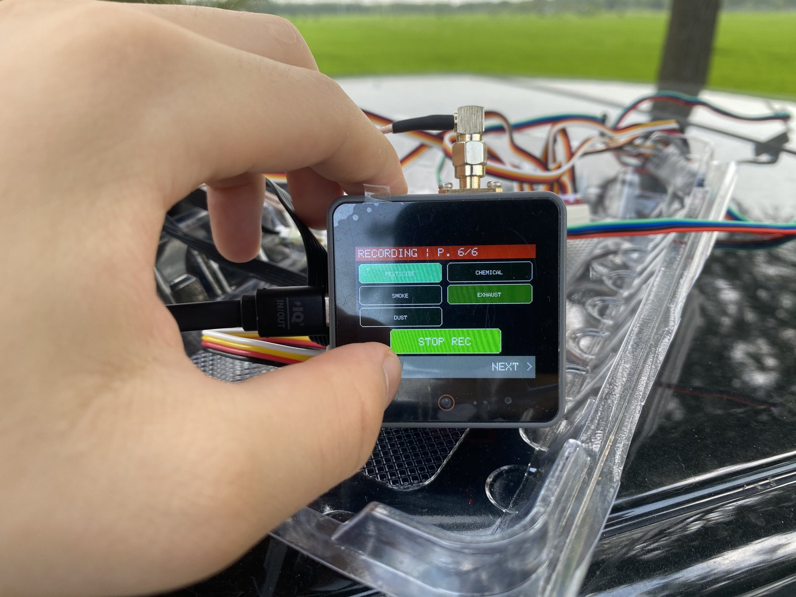
I’m developing a sensor array that combines pollution sensors, GPS, and imaging. The aim is to collect spatial data in moving conditions and explore whether machine learning can help interpret it. It’s ongoing work; the laboratory measurements remain the reference.
Next project / 03Continue to the mobile sensor-array build →Research record
The manuscript stays private for now.
The public page can explain the method and limits without exposing a draft that still needs authorship and permission review.
Pesticide research manuscript
Metadata only. No public download is available in this prototype.